Preparing for permits, engineering, or detailed design work?
Establishing a condominium under the Condominium Act?
Expanding a cottage or purchasing waterfront property?
Planning a boathouse, dock, or other structure on Crown Land?
Preparing a site for permit approval or severance conditions?
Planning a fence, starting a project, or unsure where your property ends?
Need to legally define, register, or transfer a portion of land?
Planning to divide a property or create a new lot?
Looking to secure full ownership of your waterfront lot?
Developing land into multiple lots?
Buying, selling, refinancing, or renovating a property?
Confidence starts with knowing exactly what affects a property.
As-built surveys are completed during and at the close of construction to document the final, constructed condition of a project.
Reliable area measurements are critical in commercial leasing.
Every successful project begins with accurate layout.
Ongoing site visibility helps keep projects on track.
Precision is everything when building tall. We provide vertical control, as-built monitoring, and structural layout services for multi-storey buildings.
Accurate layout is essential for successful project execution.
Industrial projects require extremely high levels of accuracy.
Accurate site data is essential before design begins.
Quality control starts with accurate measurements.
Better project decisions start with accurate spatial data.
Critical infrastructure requires accurate and reliable inspection data.
Accurate survey data creates the foundation for reliable BIM workflows.
Accurate control is the backbone of every successful survey project.
Tracking movement is critical for structural safety and performance.
Fast data collection improves project efficiency and site visibility.
Accurate underwater data is essential for marine and waterfront projects.
Highly detailed site data improves project accuracy and coordination.
Reliable data supports the long-term performance of marine infrastructure.
Extreme precision is required for advanced industrial measurement applications.
Accurate boundary definition is essential in resource development projects.
Reliable survey data supports efficient mining operations.
Precision control is critical in underground construction.
Accurate positioning underground is essential for safe and efficient operations.
Accurate quantities are critical for effective project management.
Knowing what is embedded in concrete helps prevent costly damage and delays.
Subsurface information is critical before excavation or construction begins.
Avoiding utility strikes starts with accurate locating.
Better utility data leads to better project decisions.
Ongoing locate support reduces delays and improves excavation coordination.
Understanding why damage occurred helps prevent future incidents.
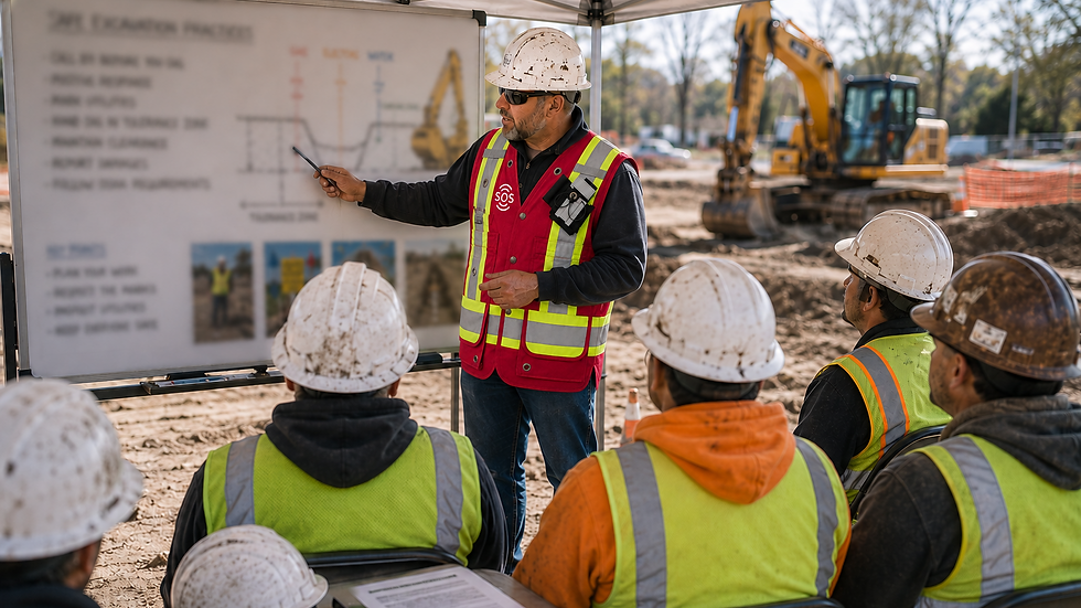
Proper training reduces risks and promotes safer excavation practices.
Visual inspection technology helps identify hidden infrastructure issues.
Reliable infrastructure information supports better asset management decisions.
Accurate utility tracing depends on reliable signal access points.
Tracing water flow helps identify hidden connections and drainage issues.
Understanding subsurface conditions is essential for informed project planning.


.png)


.png)